Rail Service in Alameda County
Rail Service in Alameda County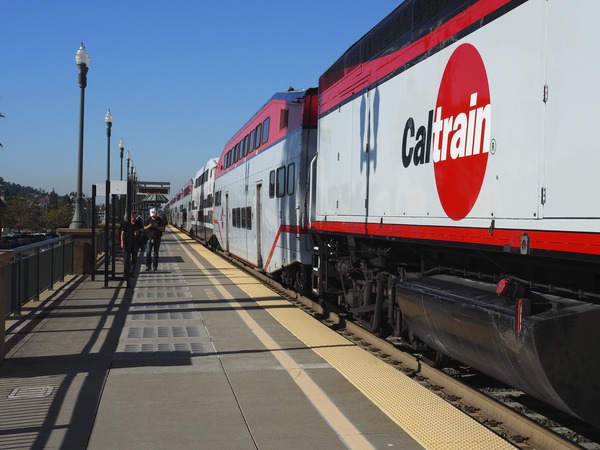
The rail system in Alameda County is a critical component of the overall transportation network. The railroad serves a unique role for transporting both people and goods (freight). Alameda County is a critical link for the Bay Area’s and Northern California’s freight and passenger rail systems. Alameda County is served by:
1. Two Class 1 freight railroads — the Union Pacific (UP) Railroad and the BNSF Railway;
2. Two intercity regional commuter rail services — Capitol Corridor and Altamont Corridor Express (ACE); and
3. Three longer distance intercity rail services operated by Amtrak — the California Zephyr, the Coast Starlight and the San Joaquins.
The vast majority of the rail infrastructure (the railroad tracks) in Alameda County is owned by Union Pacific Railroad, with the passenger rail providers (Amtrak, Capitol Corridor and ACE) operating as tenants on Union Pacific’s property (a.k.a., right-of-way).
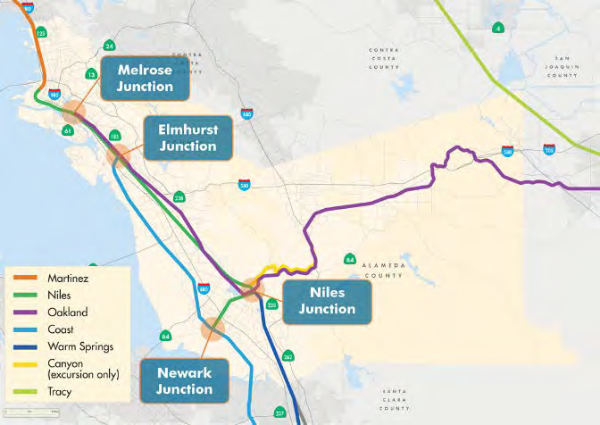
The core rail infrastructure in Alameda County includes pieces of seven rail subdivisions:
1. The Martinez subdivision connects the Port of Oakland to the northern part of Alameda County and continues into Contra Costa County.
2. The Niles subdivision extends south from the Port of Oakland running through the middle of the county to Fremont and becomes the east-west aligned Centerville line terminating at the Coast subdivision at the Newark Junction.
3. The Oakland subdivision branches off of the Niles subdivision in East Oakland, crisscrossing with the Niles subdivision and running east through the Tri-Valley connecting with the San Joaquin subdivision east of Livermore.
4. The Coast subdivision branches off of the Niles subdivision at Elmhurst Junction in East Oakland running south along the bay through the Newark Junction and extending into Santa Clara County and ultimately to the Central Coast.
5. The Warm Springs subdivision runs from Niles Junction into Santa Clara County parallel to the Coast subdivision.
6. The Canyon subdivision runs roughly parallel with the Oakland subdivision extending approximately five miles east from Niles Junction. The Canyon subdivision is currently only used for excursion trips operated by Niles Canyon Railway.
7. The Tracy subdivision runs through the north-easternmost corner of the county.